Historical maps
Sources
Historical maps of Maidenhead have been assembled from several national and local sources. The map collections of RBWM Museums & Libraries and Maidenhead Heritage Centre were scanned in 2017 aided by a grant from South East Museums and organised by volunteers from SL6.org.uk.
There are almost 500 local maps available. Most have been geo-located which means that, with the surrounding map borders removed, they can be viewed alongside contemporary maps in the Side-by-side tool.
Alternatively, every map can be viewed individually with the map borders still in place.
Copyright
Crown Copyright on Ordnance Survey maps lasts for 50 years. All the maps presented here have been selected for being over 50 years old and are therefore out-of-copyright.
Downloading
Individual sheets can be downloaded as .JPG files. The download button is available by opening the map viewer and scrolling downwards below the image. Though tested on Windows PCs and laptops, the download function may not work on all devices or on restricted public computers.
File sizes can be large. Choose the size you need.
![]()
National Library of Scotland maps
The NLS is the main national custodian for historical Ordnance Survey maps. Several online map layers are available to licence, and we have done so for the 1:10,560 and 1:25,000 Series.
The 1:2,500 Series is not available to licence but can be viewed here (opens in a new tab). The NLS 1:2,500 Series only covers one period - 1911-13.
As far as we are aware, SL6.org.uk is the only website offering access to other periods at 1:2,500 showing the development of Maidenhead.
Similarly, the 1:1,250 Series is unique to this site.
| 1:2,500 1866-73 | 12 sheets |
| 1:2,500 1897-99 | 27 sheets |
| 1:2,500 1911-13 | 38 sheets |
| 1:2,500 1925-40 | 36 sheets |
| 1:2,500 1955 | 25 sheets |
| 1:1,250 1955 | 92 sheets |
Jump to...

Miscellaneous maps from the following collections:
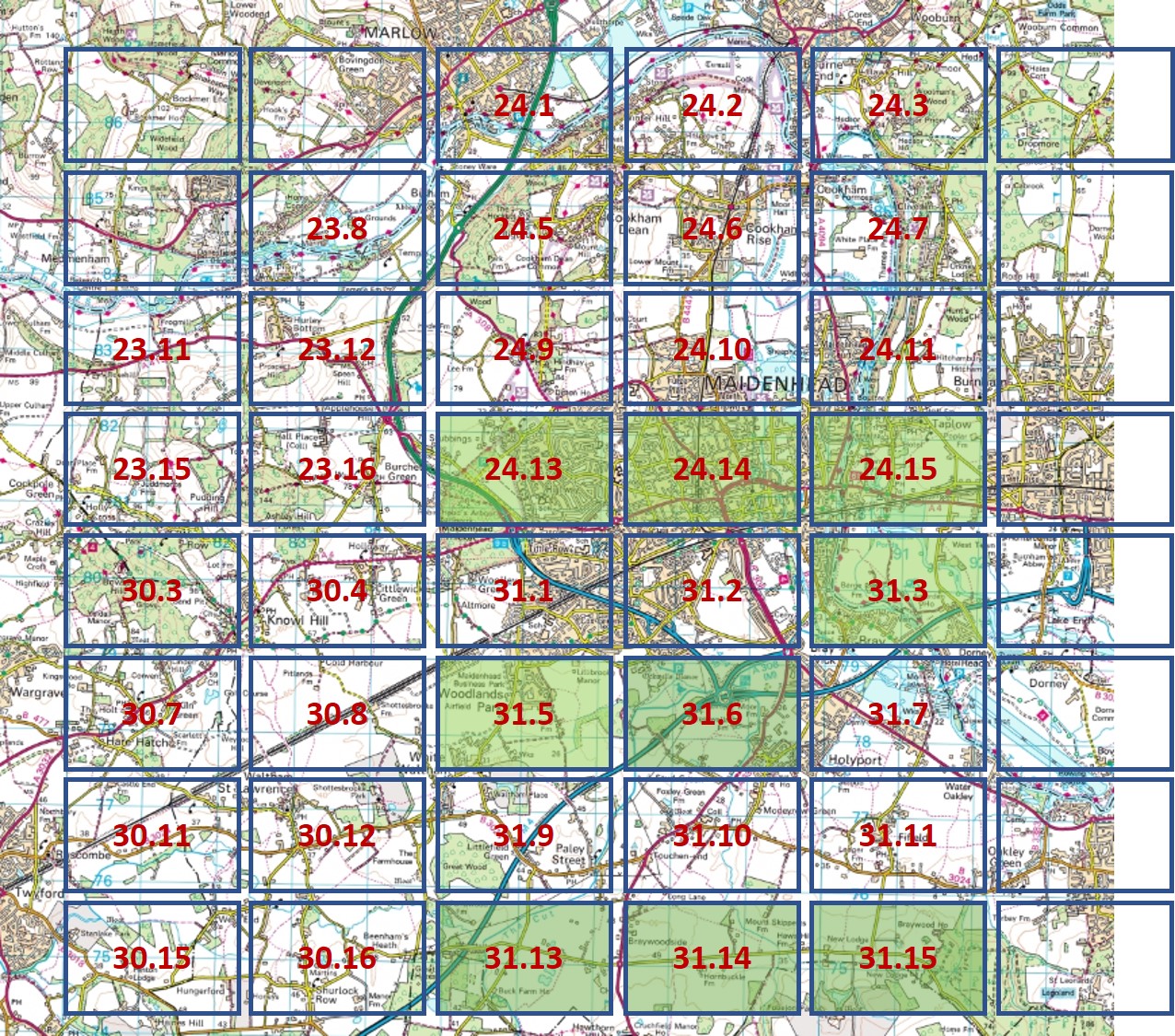
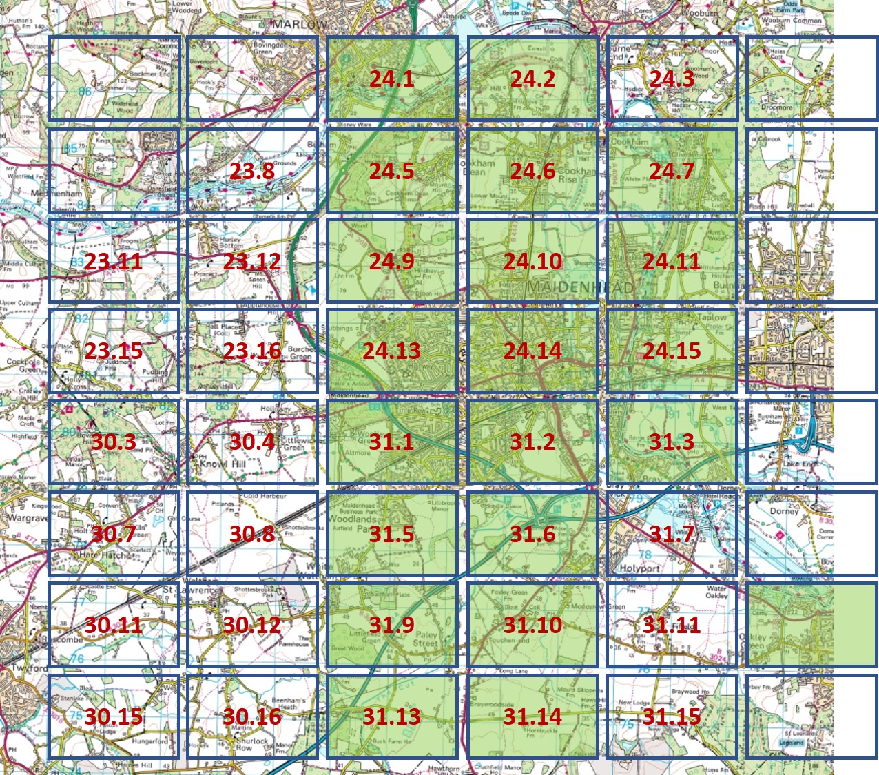
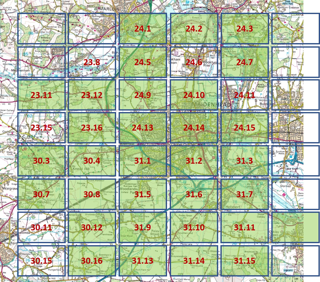
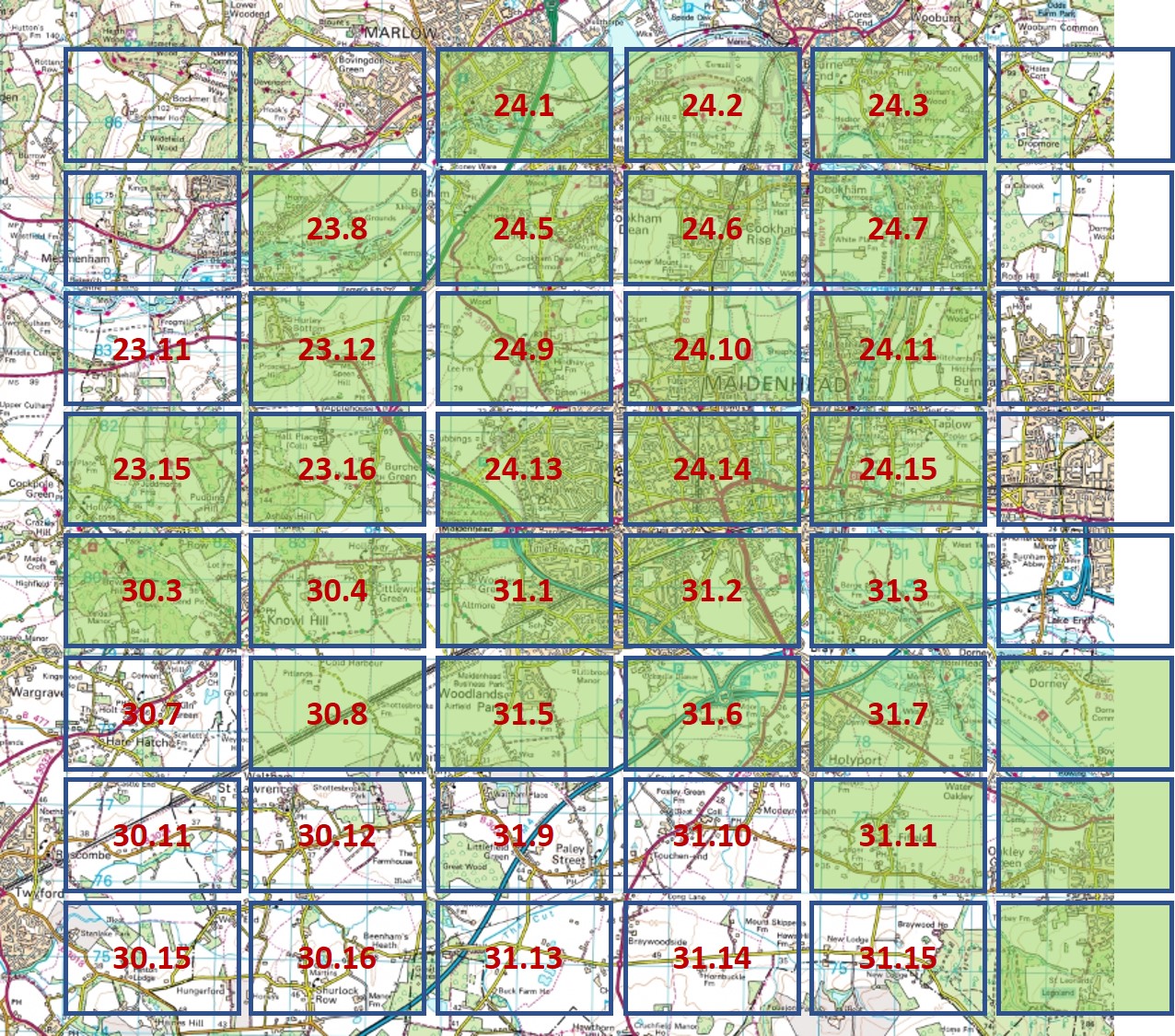
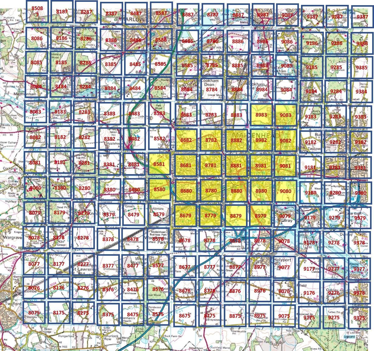
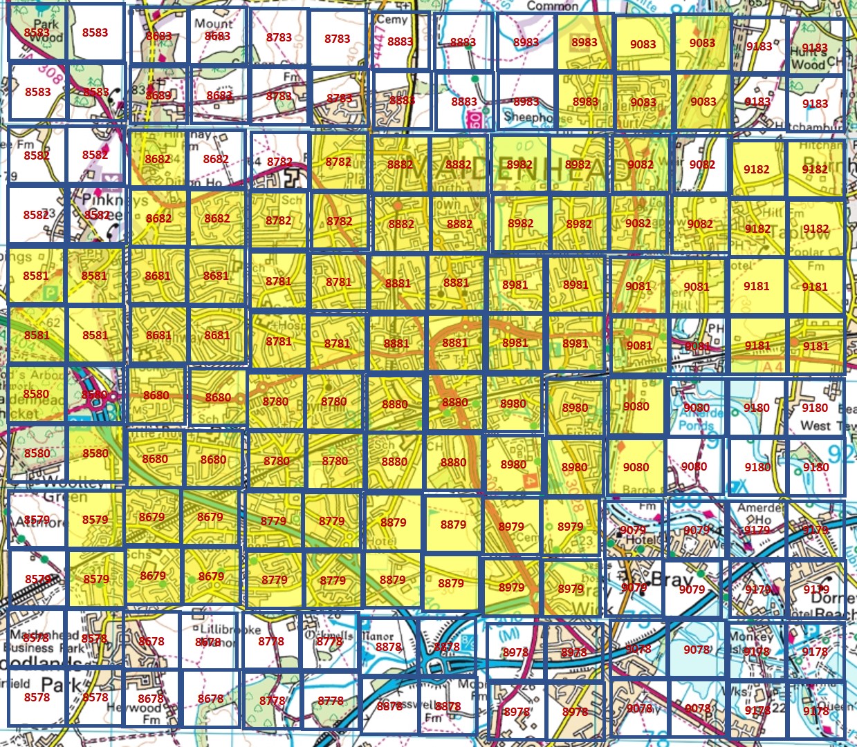
Individual Ordnance Survey maps (with their borders) can be accessed by clicking on the grids below. The side-by-side map is recommended for most purposes.
Side-by-side map

The side-by-side map displays historical maps and satellite imagery on the left and contemporary maps and satellite imagery on the right. Approximately 90% of the local historical maps can be reached through this viewer.
Map layers published by the National Library of Scotland are also provided at 1:10,560 and 1:25,000. Our licence is subject to a monthly usage cap.
Supported actions:
- Move the slider
- Switch to full-screen mode
- Select one layer for each side
- Zoom in-and-out using the buttons or mouse-wheel
- Drag the map with a mouse or two fingers on a tablet.
Printing and downloading
The side-by-side map does not support downloading or printing.
Alternatives are:
- Use a screen-grabbing tool, such as the Snipping Tool
- Download individual sheets with their borders. The Ordnance Survey index grids can be reached by using the links above or scrolling towards the bottom of this page.
Overlays
The map initially displays overlays for RBWM Conservation Areas and Historic England Listed Buildings. These can be de-activated as required, and other overlays activated.
Historic England
- Listed buildings
- Scheduled monuments
- Parks and gardens (listed)
Land Registry
- Land parcels ("cadastrals") often remain as shadows where former buildings existed. Zoom 16+
Royal Borough of Windsor and Maidenhead
- Conservation areas
Exploring with a mobile device

Your location can be switched on using an icon on the left.
As you walk, the side-by-side map can be your guide to Maidenhead's past.
Windsor Museum


Maidenhead Library
Terry's Survey of Cookham Parish


Tithe maps and field boundaries of Cookham


Estate sales


Cookham miscelleny


Maidenhead and Taplow miscelleny


Geological maps


Aerial photographs


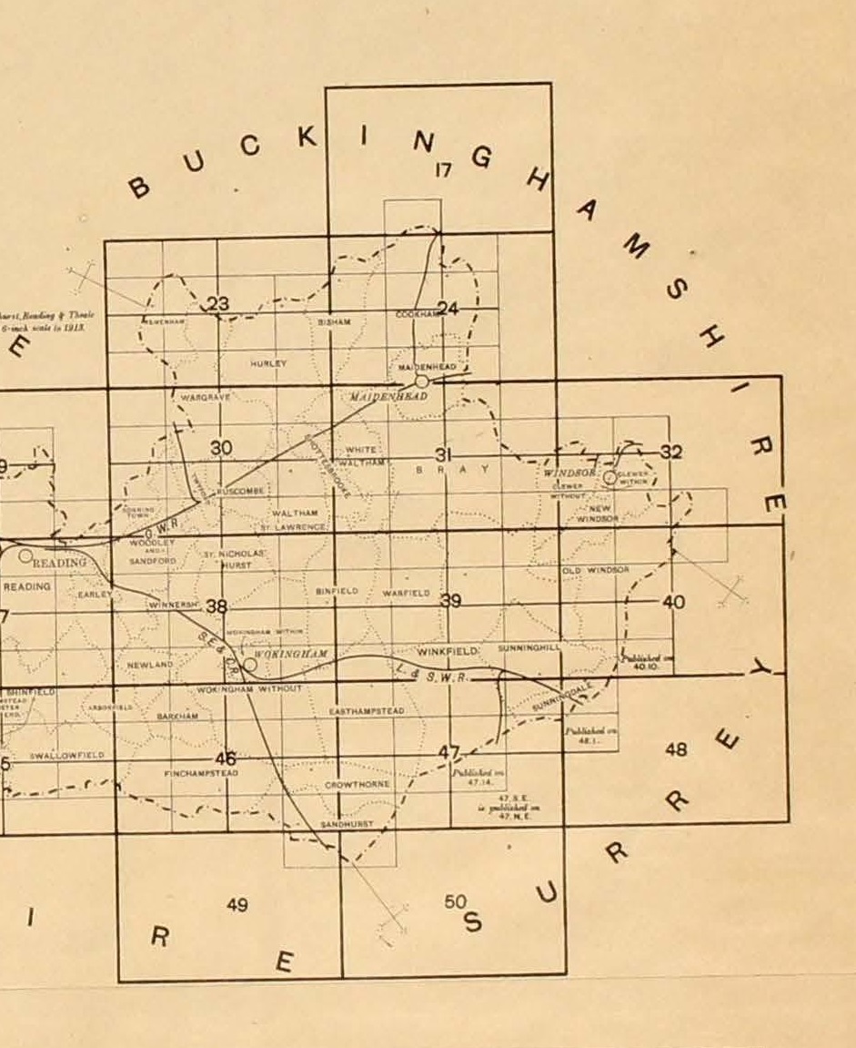
Berkshire Atlas
The Berkshire Atlas was published by the Ordnance Survey in the early 1920s at a scale of 1:10,560, and bound into volumes. The maps available are from the volume covering East Berkshire.
Click one of the hotspots below to open a map.

Maidenhead Heritage Centre